Irrigation in The Upper Snake River Valley of Idaho
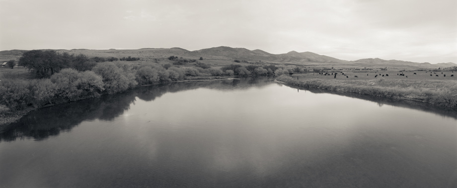
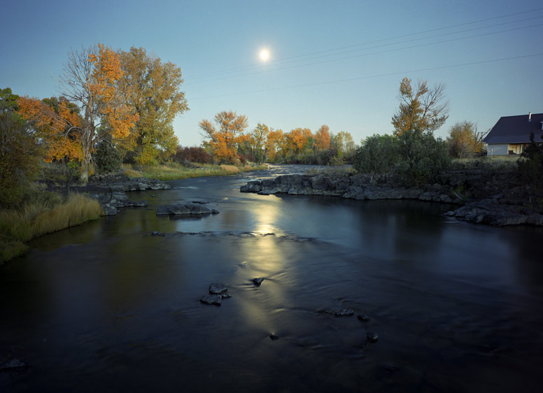
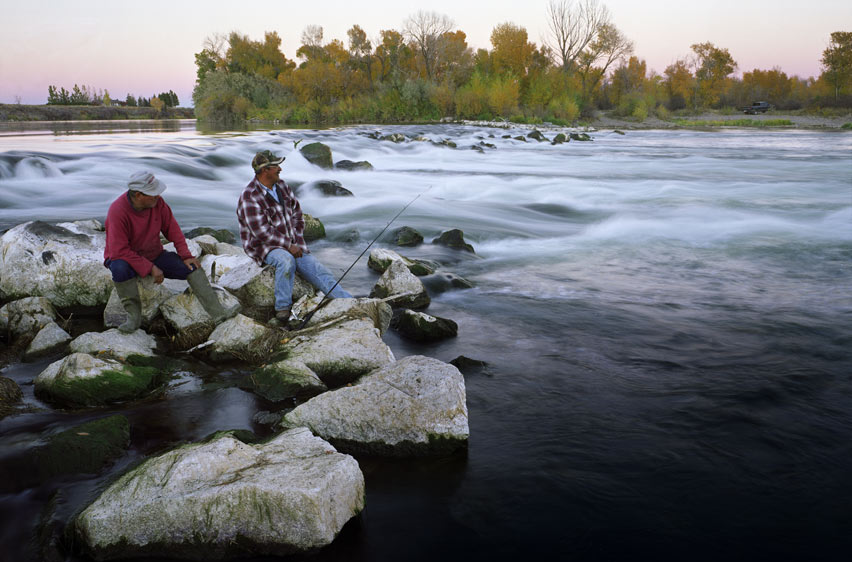
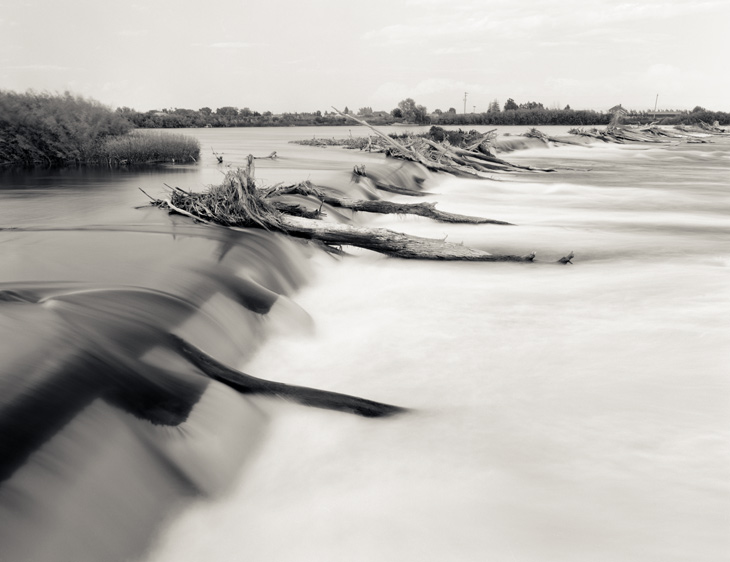
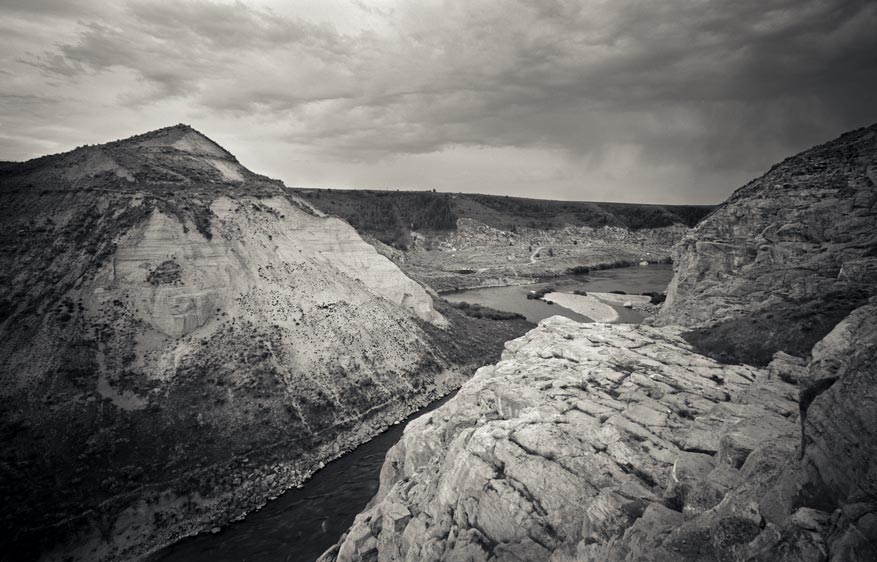
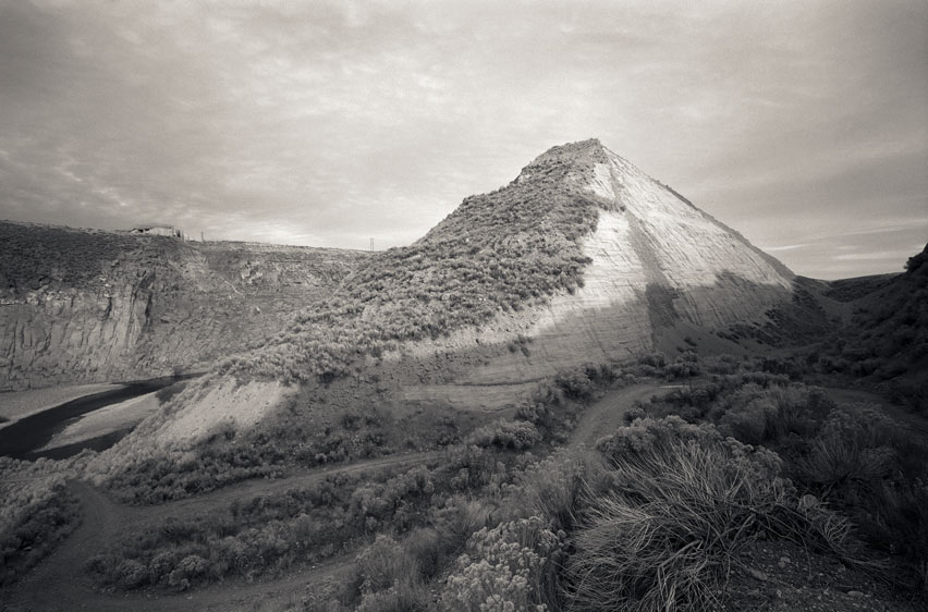
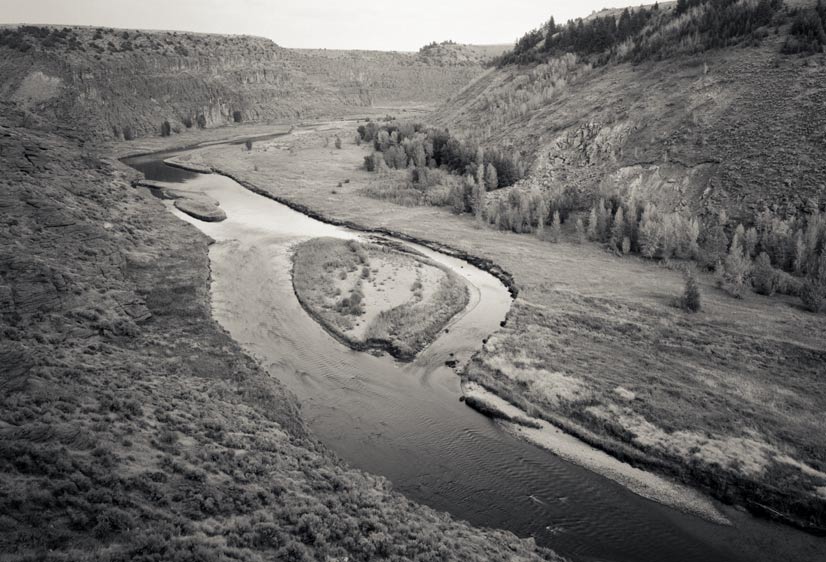
The Upper Snake River Valley is a dry, cold, and seemingly inhospitable place. There are extensive mountain ranges to the north and east of the valley. In the winter it snows in those mountains. It snows a lot. In the summer that snow melts and drains into two main arteries, the Henry’s Fork and the South Fork of the Snake River (which eventually join to become the main stem of the Snake River). These substantial waterways and their subsequent alterations allow residents to prosper in this high desert.
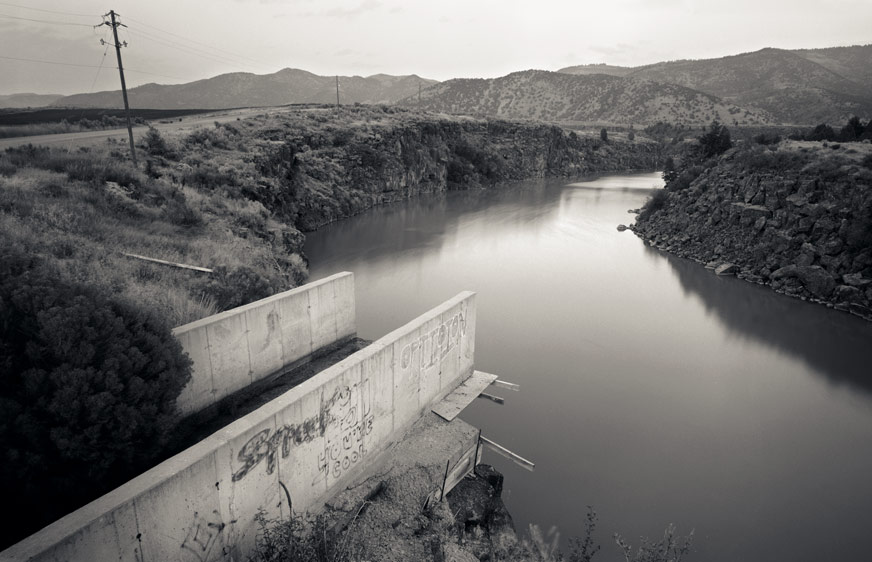
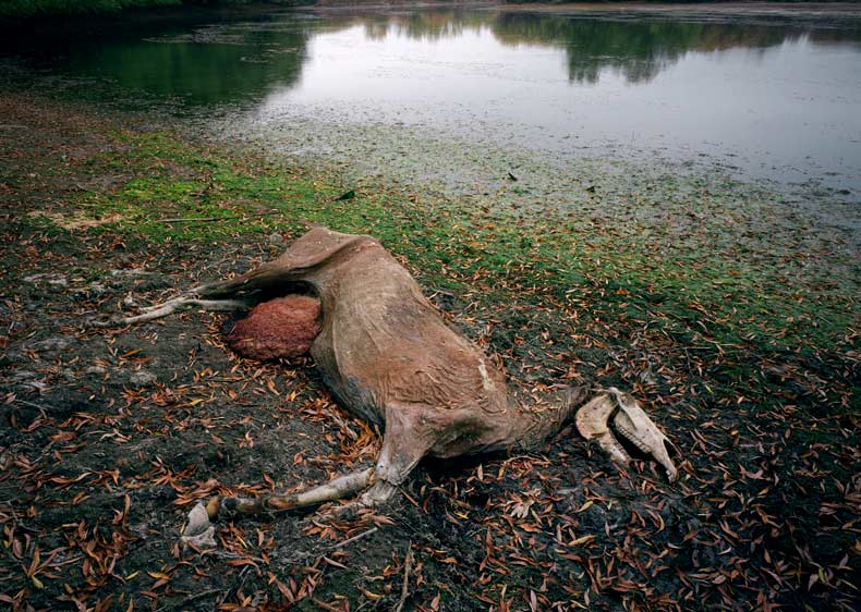
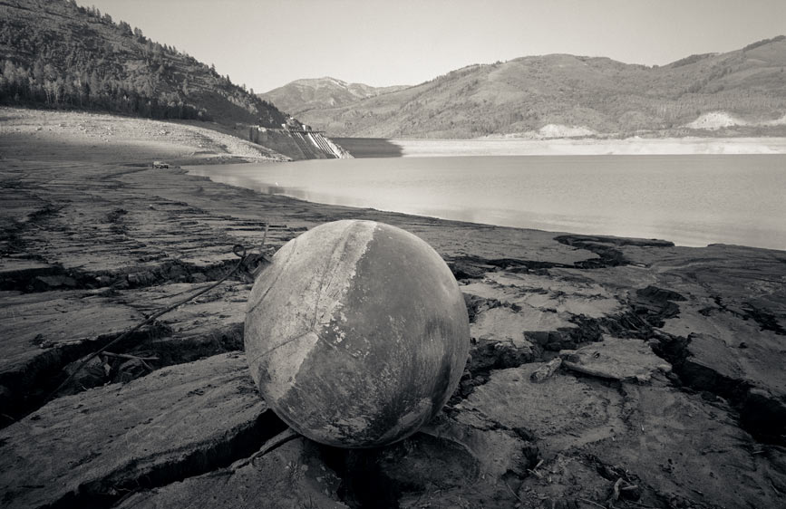
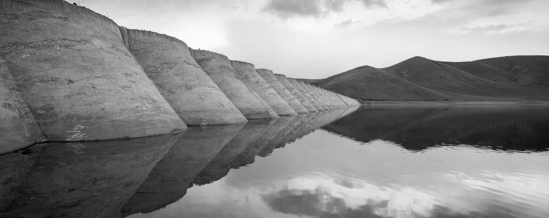
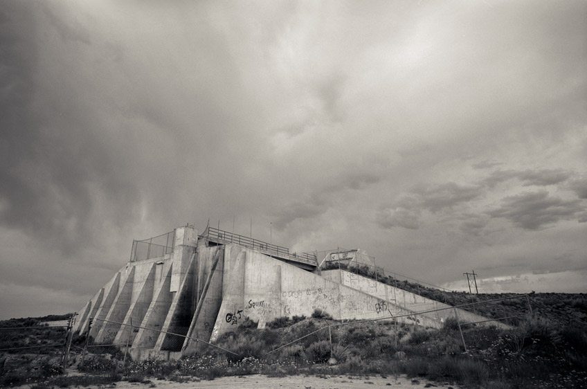
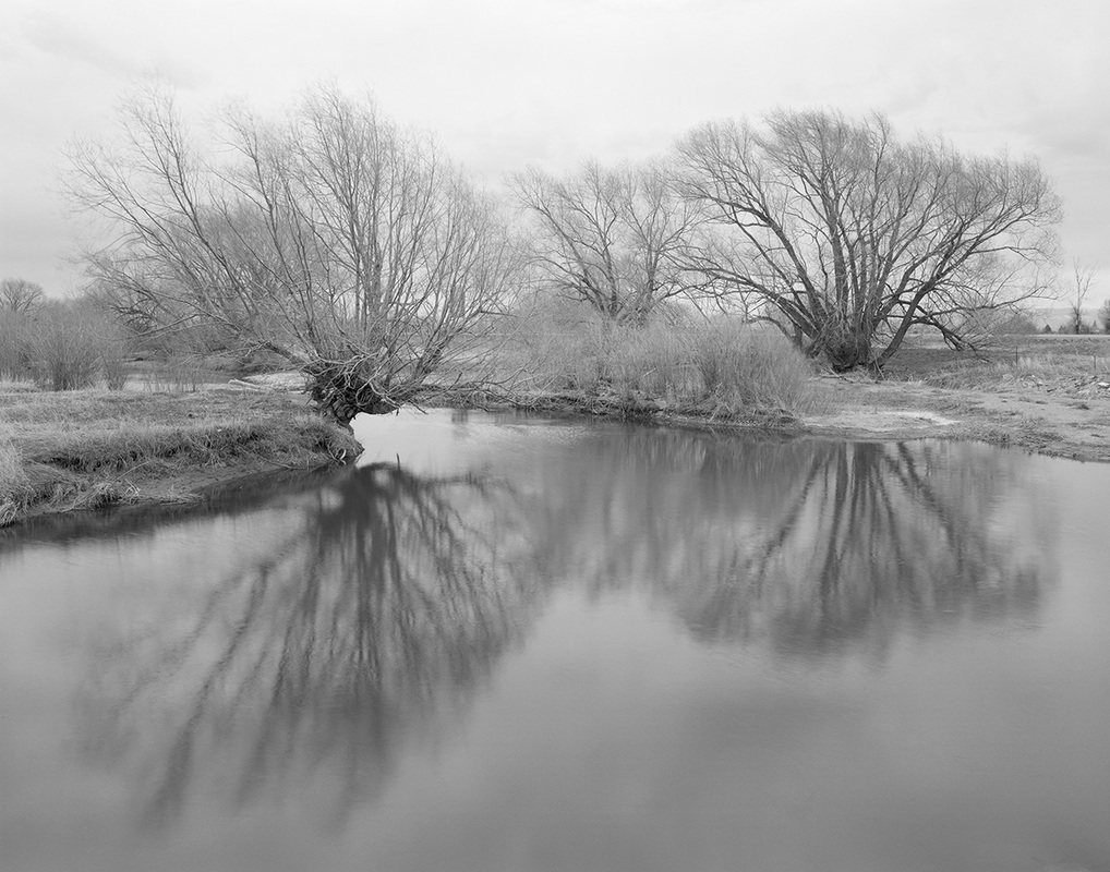
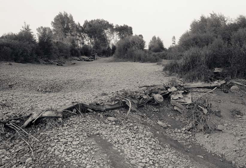
The waterways of the upper valley barely resemble the natural landscape from which they've evolved. Pristine sections of rivers, with clear water and unaltered flow, are still possible to find (they are, in fact, a major source of recreation and refuge for locals and visitors alike), but they are no longer characteristic. The inhabitants of the region have been altering the waterways since their arrival. Rivers are dammed for power production, to divert water for irrigation, and to “enhance” or provide recreation. I support responsible stewardship of these resources. When rivers run dry in favor of irrigation canals, though, I think priorities need to shift.
My motivation to photograph the irrigated landscape of this region stems from my desire to understand the place. These photographs document my encounters with the geography of my homeland, the irrigated landscape of the upper Snake River valley.